Fast & Accurate Land Surveying Services in HRM & Nova Scotia
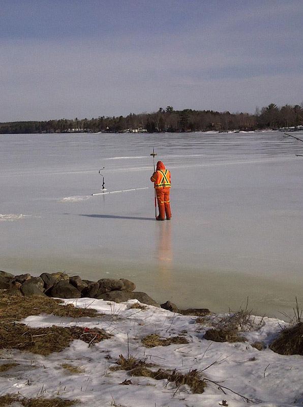
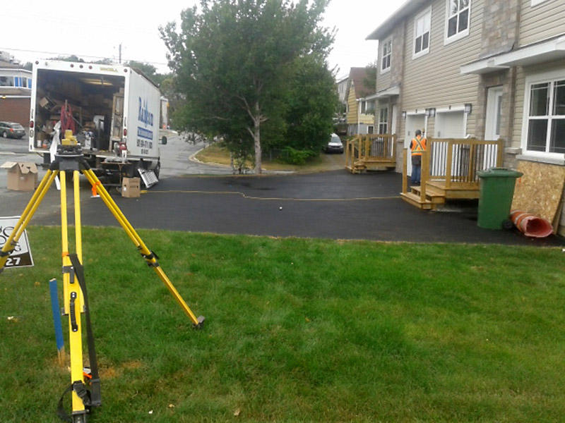
When you need fast and accurate land surveying services, choose the professional team at Longstaff-Parker-Wamboldt Surveys Inc. We’ve been serving the needs of homeowners, municipal clients and developers in Nova Scotia since 1975 and have built a reputation for providing the highest standard of service and quality.
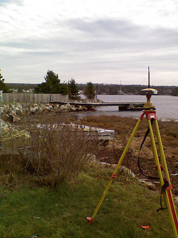
Some of the equipment we use to perform a survey includes:
- Robotic Total Station with RTK and Static GPS
- Topcon Magnet Field Survey Software with Roading
- Carlson™ Survey with embedded AutoCAD office drafting and design software
- MAGNET Office full office suite survey adjustment program
Surveying Services
Click on any of the following headings to jump directly to that topic:
- Legal Boundary (Retracement) Surveys
- Subdivision Design and Layout Surveys
- Topographical Surveys
- Lot Grading Plans and Lot Grading Package Surveys
- Plot Plans
- Surveyor’s Location Certificates (Mortgage Certificates)
- Construction Surveys and Layouts
- Pipeline Construction and As-Built Surveys
- Building and Bare Land Condominium Surveys
- Easements and Right-Of-Way Surveys
- Title Research and Boundary Investigations (with report)
- Horizontal and Preliminary Vertical Road Designs
- Stockpile and Volume Calculations
- Digital Terrain Modeling
- Computer-Aided Drafting
- Global Navigation Satellite System Positioning
- Quantity Surveys
- Surveyor’s Site Plans
- Geodetic Dimensional Control Surveys
- Wood Lot Surveys
- LiDAR Surveys (Consultations)
- Concept Plans (Zoning Consultations)
Contact us for details on our multi-lot discounts!
Free Estimate
Schedule a no-obligation consultation and free estimate
Legal Boundary (Retracement) Surveys
This survey redefines the boundaries of a lot of land and re-establishes all corner pins and boundary lines. A fully certified survey plan is produced and registered in the Nova Scotia Land Registry. Often these surveys are obtained to facilitate the sale of a property or when a property has been recently purchased.
Subdivision Design and Layout Surveys
If a lot of land provides enough road frontage and area to allow for 1 or more lots to be subdivided, individual lot owners find it financially advantageous to create new parcels of land on their existing property without the requirement of building a municipal road. Land developers who would like to create larger subdivisions will require a detailed road design depending on local subdivision by-law requirements.
Topographical Surveys
Topographical surveys show all the features on a property, including all “man-made”, cultural and natural features. When engineering or detailed architectural design is required, a topographical survey of the lot will be needed to facilitate these designs in residential, commercial or industrial developments.
Lot Grading Plans and Lot Grading Package Surveys
In the serviced area of HRM and the Municipality of the District of East Hants, a lot grading plan is required in order to obtain a permit for new home builds. Longstaff-Parker-Wamboldt Surveys Inc has extensive experience in this field with over 200 home builds to our credit. As part of the home building process, we offer a Lot Grading package that consists of:
- Topographic survey of site and production of a certified Lot Grading Plan
- House layout to meet minimum side and front yard setbacks for excavation and placement of foundation footings
- Surveyor’s Location Certificate and precision layout of foundation on footing
- Final lot grading certificate to obtain occupancy permit
Plot Plans
In order to obtain a permit for a new house build, a plot plan may be required showing the proposed location of the new home and other structures in order to show that proper placement and set-backs on the lot can be met.
Surveyor’s Location Certificates (Mortgage Certificates)
Often these are required by banks and/or recommended by lawyers/realtors to determine if there are any encroachments on the purchasing property that could cause expense to resolve after the purchase. Frequently local county by-laws require a Surveyor’s Location Certificate at the footing stage of a new home build to ensure the home is being built on the right property and at the proper offset from the boundary lines.
Construction Surveys and Layouts
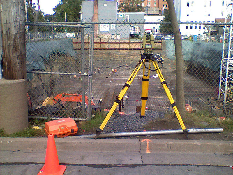
Land surveyors specializing in the construction field help construction projects run smoother by ensuring that buildings, highways, bridges, etc. are placed precisely. Longstaff-Parker-Wamboldt Surveys Inc uses state-of-the-art Robotic Total Stations and RTK GPS, along with construction survey layout field computers. These technologies allow us to meet the most demanding developer/builder requirements for precise and timely construction layouts for heavy civil and foundation construction.
Pipeline Construction and As-Built Surveys
During heavy civil construction of water and sewer pipelines or new lateral connections, as-built surveys are performed to provide information for future construction projects to know exactly what is buried in the ground and at what depth and horizontal location. As-built surveys are key to the value of our municipal service infrastructure.
Building and Bare Land Condominium Surveys
Condominium ownership is on the rise due to an aging demographic and a group of young professionals who do not want the responsibility of a larger piece of real estate, but are still looking for a solid investment. Longstaff-Parker-Wamboldt Surveys Inc has a breadth of experience in the condominium building and bare land condominium development process.
Easements and Right-Of-Way Surveys
Clients sometimes require deeded access over newly created or existing lots with pre-existing right-of-way use in order to clarify and make legal access. We produce certified easement drawings to be registered as part of the Right-of-Way/Easement legal documents.
Title Research and Boundary Investigations (with report)
This is sometimes required due to weak boundary fabric for a series of adjoining parcels of land. A boundary line investigation and report will be conducted in order to help a land owner or prospective purchaser determine the extent of any boundary line title issues that may be present.
Horizontal and Preliminary Vertical Road Designs
For concept planning, Longstaff-Parker-Wamboldt Surveys Inc provides standard horizontal and vertical road designs with preliminary quantity take-offs.
Stockpile and Volume Calculations
Longstaff-Parker-Wamboldt Surveys Inc has a full suite of field and office software to measure and calculate earth works volumes of materials to be removed and added to a site.
Digital Terrain Modeling
Our 3D office software generates rendered 3D drawings of sites along with industry standard TIN and contour files.
Computer-Aided Drafting
Longstaff-Parker-Wamboldt Surveys Inc has a full suite of CAD software with highly skilled technologists to meet any of your drafting needs.
Global Navigation Satellite System Positioning
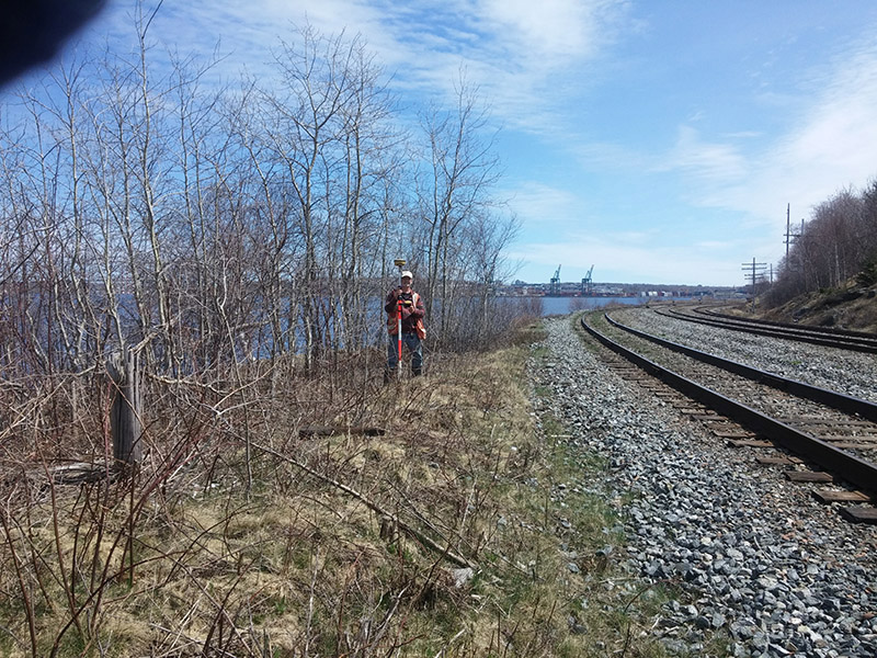
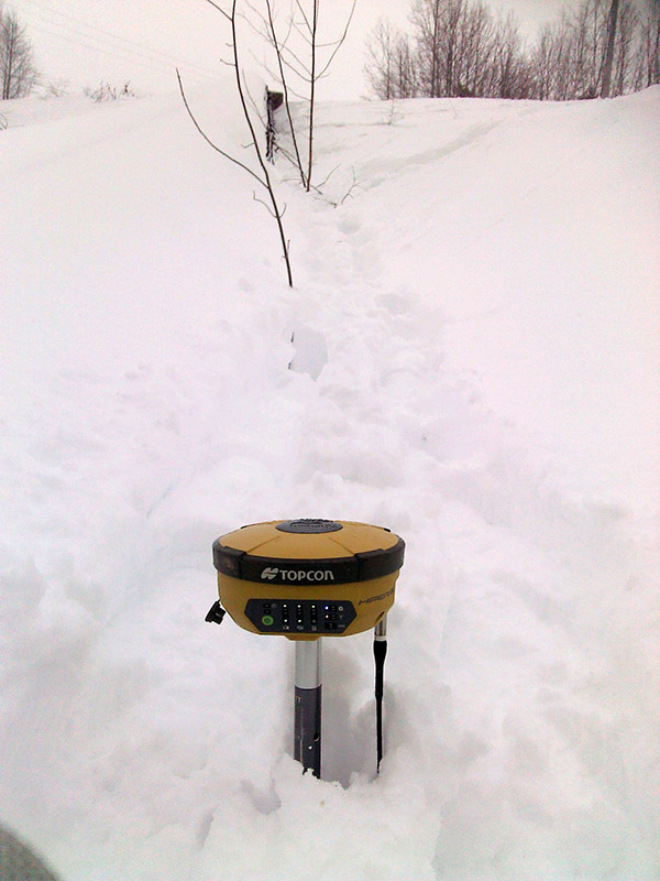
We have state-of-the-art dual frequency GPS survey grade receivers along with office least squares adjustment software for all your real-time and control survey GPS needs.
Quantity Surveys
A Quantity Surveyor provides knowledge on construction costs, progress payments and contracts. Quantity surveys are useful for cost planning and quantity management throughout the entire life cycle of the project from inception to post-completion.
Surveyor’s Site Plans
Often the permitting process for a new home build requires a site plan to show the proposed house, driveway, well and septic locations. Individual home owners often find these valuable for their personal site planning purposes.
Geodetic Dimensional Control Surveys with least squares adjustments
Dimensional surveys are used to determine the terrestrial or 3-dimensional position of points and the distances and angles between them with a high level of accuracy. Longstaff-Parker-Wamboldt Surveys Inc has precise GPS and Total Station equipment, along with a full suite of office least squares adjustment software to meet all your precision dimensional control needs.
Wood Lot Surveys
Quite often the deed description for a wood lot is an abutter’s description, being the names of the neighboring land owners. Wood lot surveys are usually needed to confirm the acreage, to locate and confirm the boundary lines or a corner. A wood lot survey is very helpful before commencing logging activities and or when a property is being sold or purchased.
LiDAR Surveys (Consultations)
LiDAR involves a special camera that is mounted to a plane or drone equipped with precision GPS to create a precise map of the Earth’s land surface. Engineers and architects use this info to design roads, lots, etc. Longstaff-Parker-Wamboldt Surveys Inc has detailed experience in large lot LiDAR surveys and are able to provide a cost/benefit analysis in comparison to a traditional topographic survey, with expected accuracies.


